
Why it pays
See the ground, not the canopy
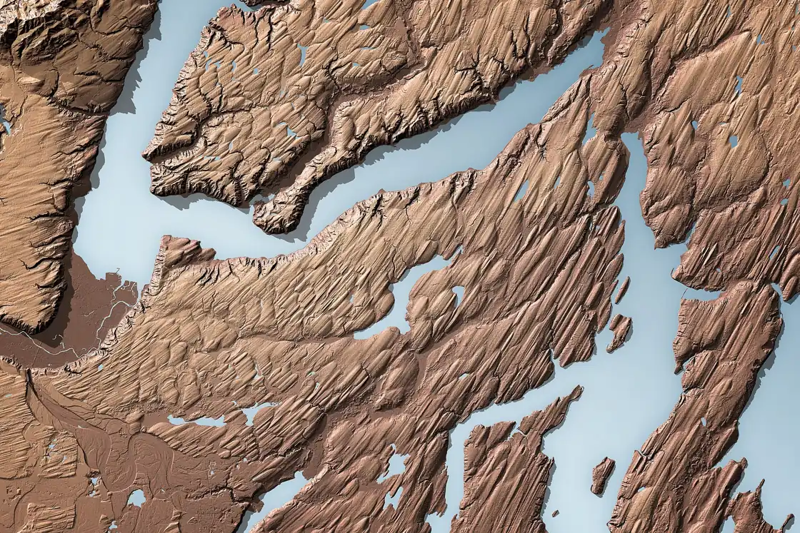
Photogrammetry maps what the camera sees — and under canopy, that isn't the ground. LiDAR returns punch through vegetation to deliver classified point clouds and bare-earth terrain models you can design against.
Corridors, wooded parcels, grown-over stockpiles: measured where cameras give up.
- VEGETATION-PENETRATING RETURNS
- GROUND / NON-GROUND CLASSIFICATION
- TRUE BARE-EARTH DTMS
- RTK/PPK TRAJECTORY CONTROL
What it looks like
What you receive
- Classified LAS / LAZ point cloud
- Bare-earth DTM
- Contours (DXF / SHP)
- Cross-sections on request
Use cases
Corridors
Wooded terrain
Stockpiles under canopy
Floodplain modeling
Put your site in the data.
Tell us about the project — we'll come back with a plan and a number.