
Service · 01
Drone Mapping & Orthomosaics
Site-wide maps and surfaces accurate enough to measure, bid, and build against.
Why it pays
What flying your site gets you
Walking a site with a rover gets you points. Flying it gets you everything — a current, high-resolution record of the whole site you can measure any time.
Earthwork quantities, drainage checks, as-built comparisons: answered from your desk instead of another site visit.
- RTK/PPK-POSITIONED UAS PLATFORMS
- SUB-INCH-CLASS GSD AVAILABLE
- GROUND CONTROL VALIDATED ON REQUEST
- DELIVERABLES IN YOUR PROJECT CRS
What it looks like
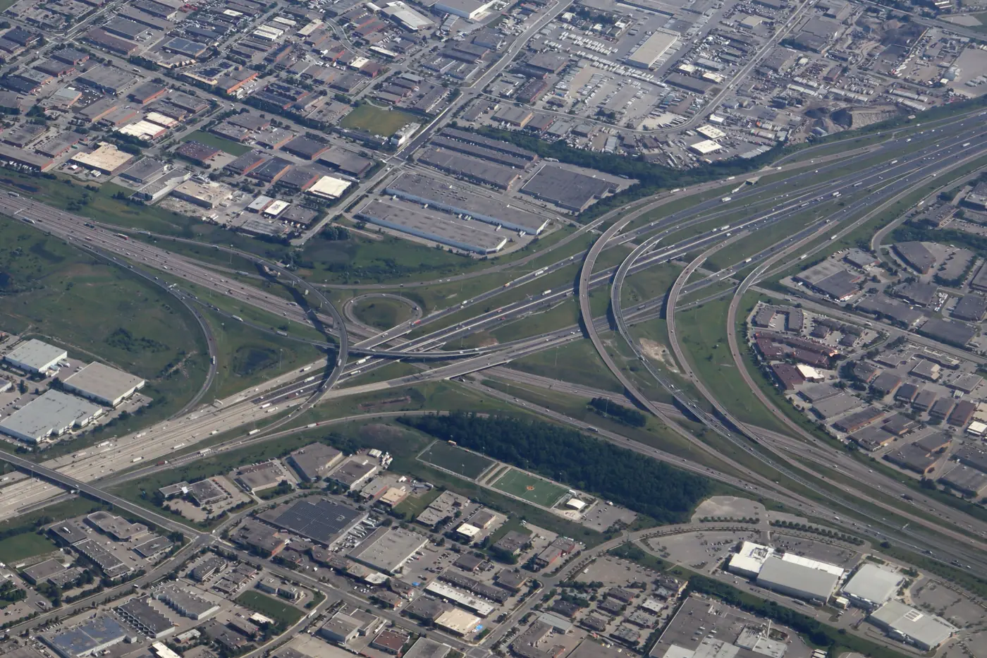
What you receive
- GeoTIFF orthomosaic in your CRS
- DSM / DTM surfaces
- Contours (DXF / SHP)
- Stockpile & cut/fill volume reports
Use cases
Earthwork quantities
Site planning
As-builts
Drainage review
Put your site in the data.
Tell us about the project — we'll come back with a plan and a number.